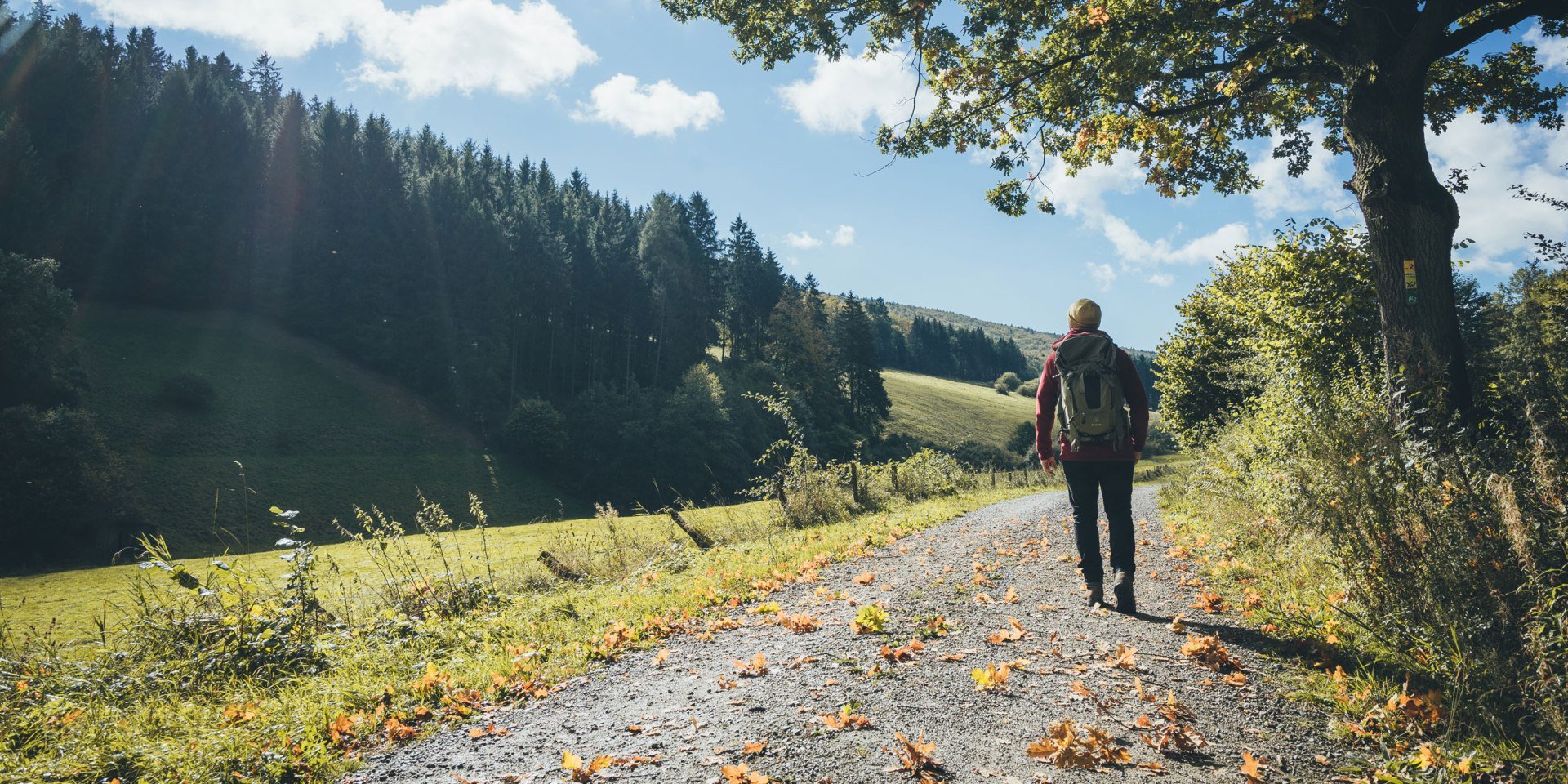
The bright green mighty beeches and oaks, lush fragrant forest floors, buzzing dragonflies, strange-looking rock formations and the tranquil flow of the sparkling Weser River – this is the “home of hiking”. Along the way, the ridgeways and hills between the Wesergebirge (Weser Hills) and Solling regularly afford views across the valley. Cyclists can enjoy amazing views at one of the many observation towers along the hiking trails in Germany. The northernmost dripstone cave in Germany, the Schillat Cave within the natour.NAH.zentrum and the Mecklenbruch High Moor and Solling-Vogler Nature Park are also worth a visit.
A hike in the Weserbergland not only offers beautiful views of the landscape but also opportunities to visit romantic castles, historic Old Towns and encounter some well-known myths and legends from the world of fairy tales. On the Weserberglandweg (Weser Uplands Route) you will hike through the Reinhardswald forest, steeped in legend, with the Dornröschenschloss Sababurg (Sleeping Beauty’s Castle), to the famous home of the “Baron of Lies”, Münchhausen-Stadt Bodenwerder, and on to Hamelin and the world-famous tale of the Pied Piper.
The Deutscher Wanderverband (German Ramblers’ Association) were also impressed by the quality: the Ith Hils Weg (Ith Hils Trail) and the 225 km Weserberglandweg (Weser Uplands Route) premium walking routes will satisfy the cravings of even the most demanding of hikers. In addition to these two long distance hiking trails, there are also certified premium short distance walking trails, e.g. the Weg der Selbstzuwendung (Route of Self-Care) and the Drei-Burgen-Route (Three-Castle Route).


