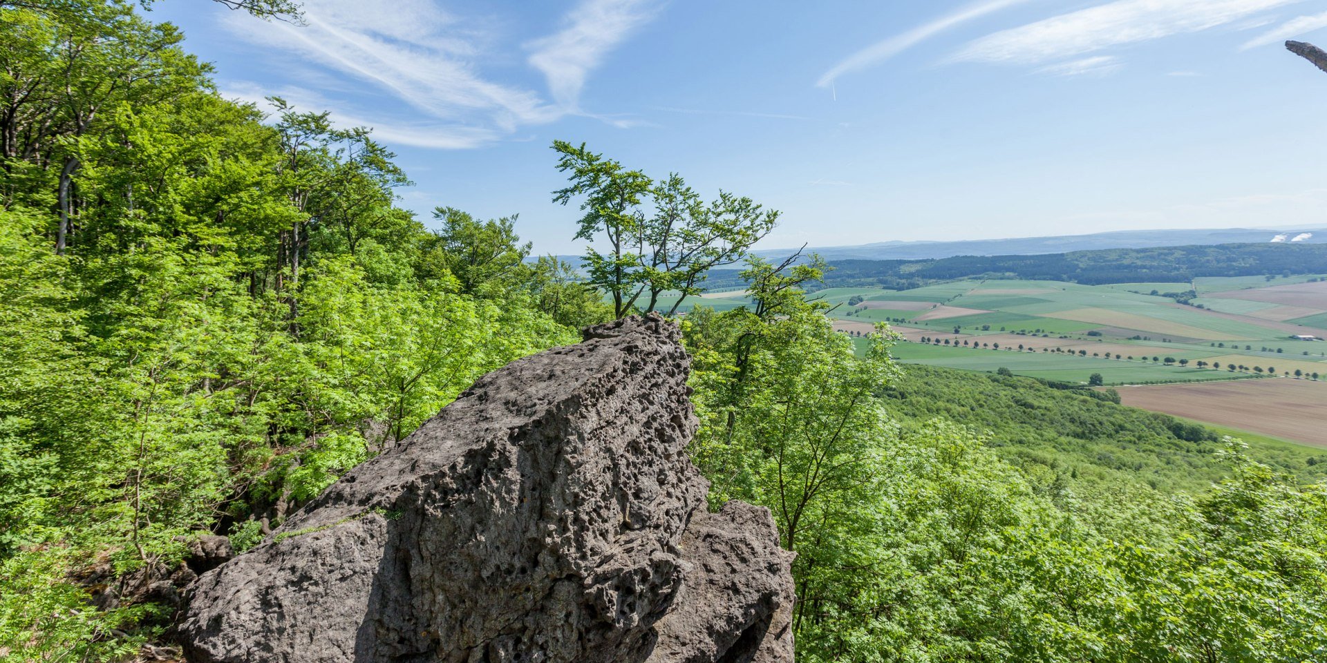
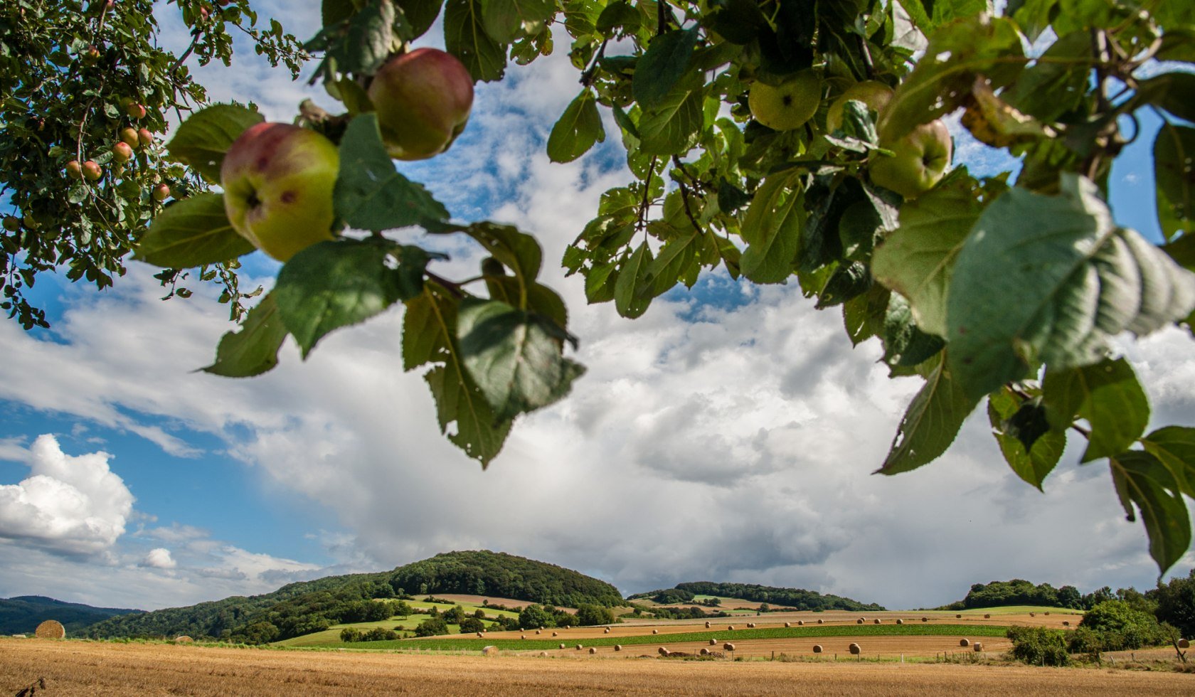
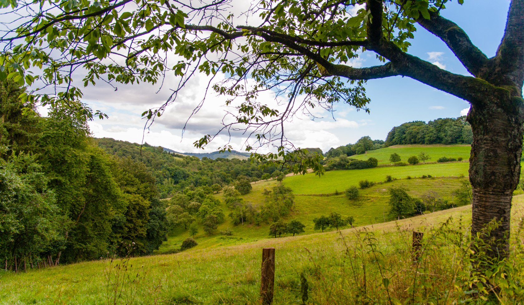
Ausblick Ith Hils Weg, © Tourismuszentrale östliches Weserbergland
© Tourismuszentrale östliches Weserbergland

Ith Hils Trail

Ascent
2297 m
Descent
2299 m
Distance
80 km
highest point
484 m
Level of difficulty
medium
Type of tour
Circular tour
Recommended month:JFMAMJJASOND
Recommended months for a hike: Optimal

Ith and Hils? Some hikers may wonder where these mountains are. The long green mountain ranges lie in the eastern region of the Weser Uplands. The 80 km Ith Hils Trail awarded as a “Wanderbares Deutschland” premium trail takes hikers along natural paths, and past cliffs and caves.

Qualitätsweg Wanderbares Deutschland

Quality Tour "Wanderbares Deutschland"

The Ith-Hils Trail is a certified Premiumtour.

Unfortunately your search did not yield any results.

Impressions

Logo Ith-Hils-Weg

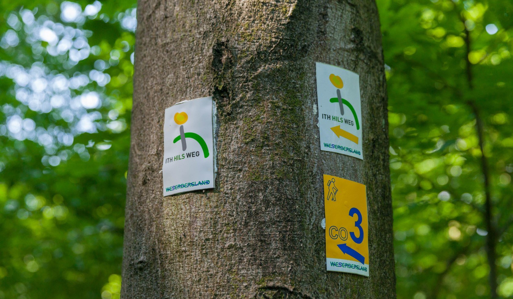
Signage

The Tour is continuously signposted with this standardised logo.

In­form­a­tion


Arrival and departure

The villages of Coppenbrügge, Salzhemmendorf, Eschershausen, Duingen, Delligsen and Alfeld are located on the wayside. You can also start the hike here. The official starting point and final destination is Coppenbrügge, where you will also find a train station.

The specifics of the tour

The Ith-Hils-Weg is signposted with a newly designed and clearly visible logo. The logos are spaced approx. 250 metres apart with directional arrows. The tops of the trail signposts also feature the new route logo.

your contact

Weserbergland Tourismus e.V.

Deisterallee
31785 Hameln
Phone: +49 (0) 5151 / 93000

websiteE-Mail

Tourismuszentrale östliches Weserbergland c/o Getour GmbH

Hannoversche Straße 14a
31848 Bad Münder
Phone: +49 (0) 5042 / 929804

websiteE-Mail