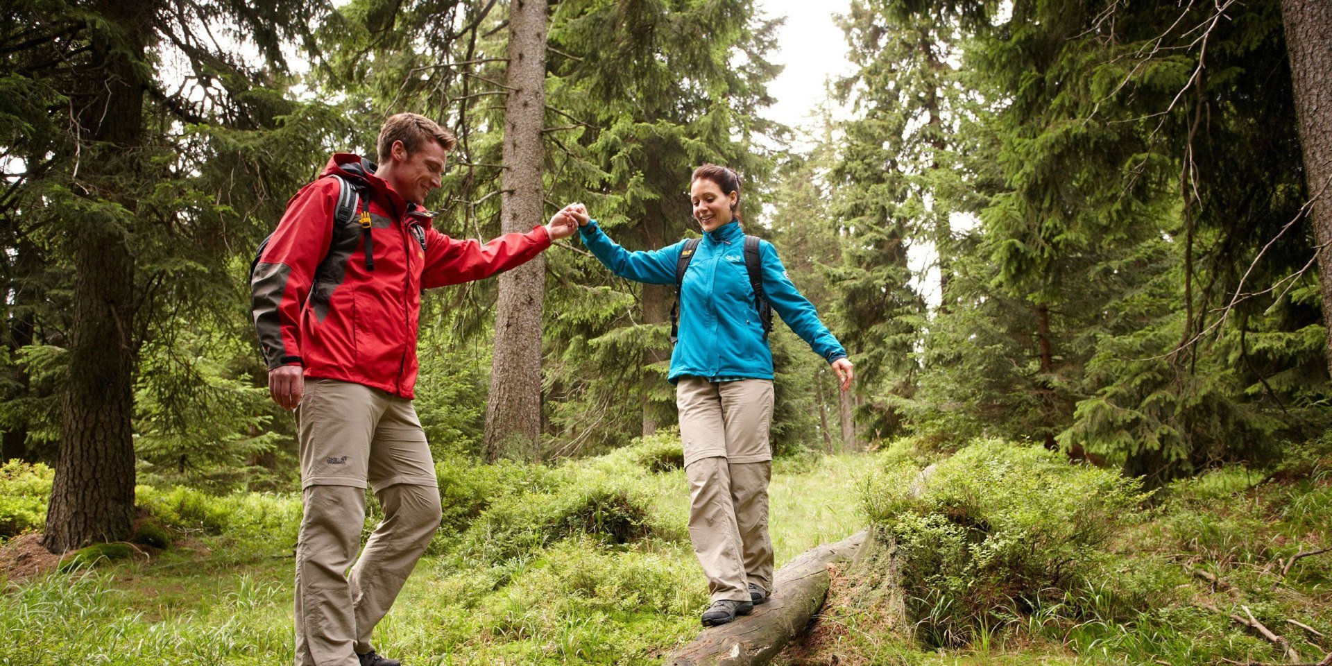
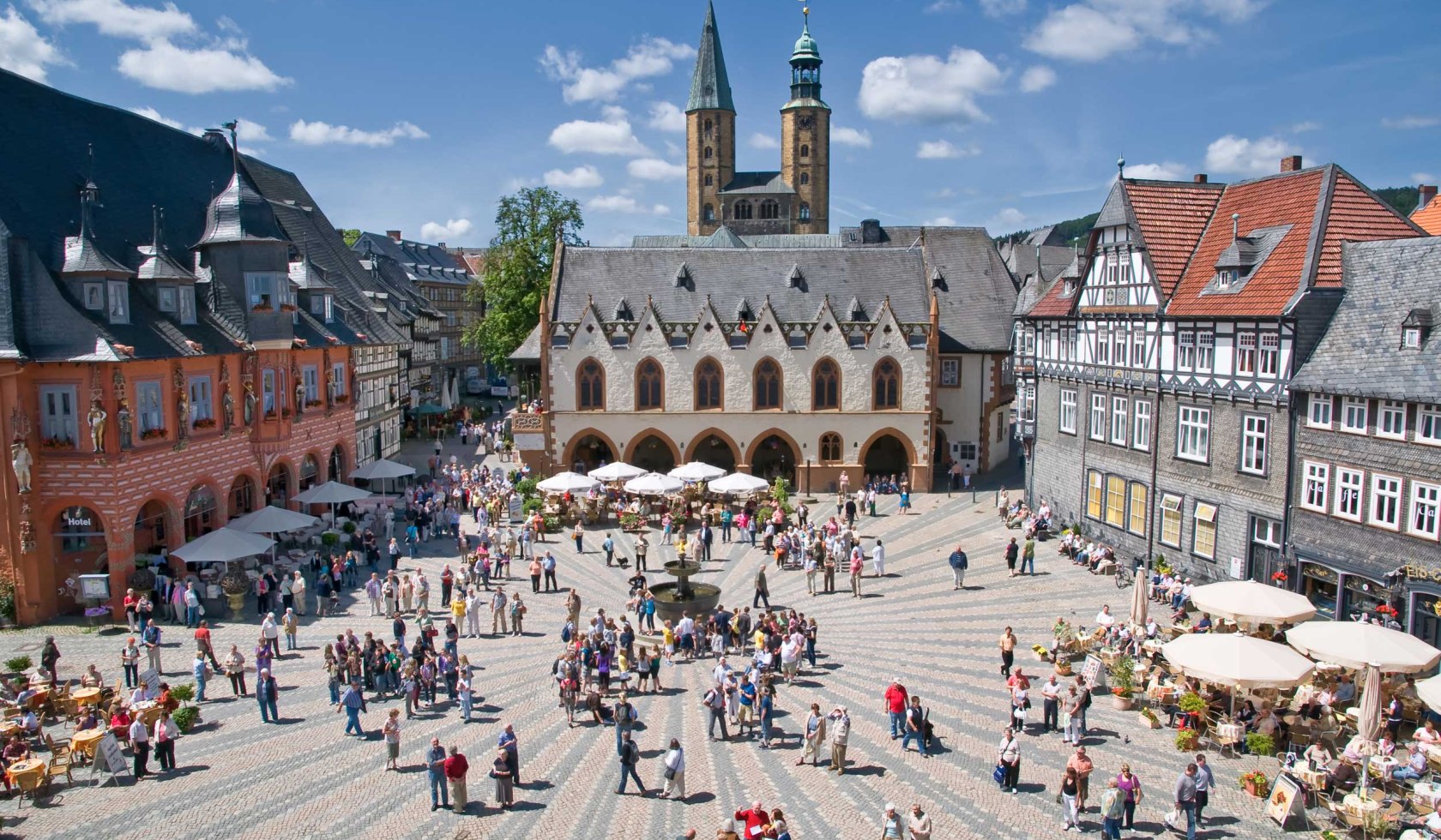
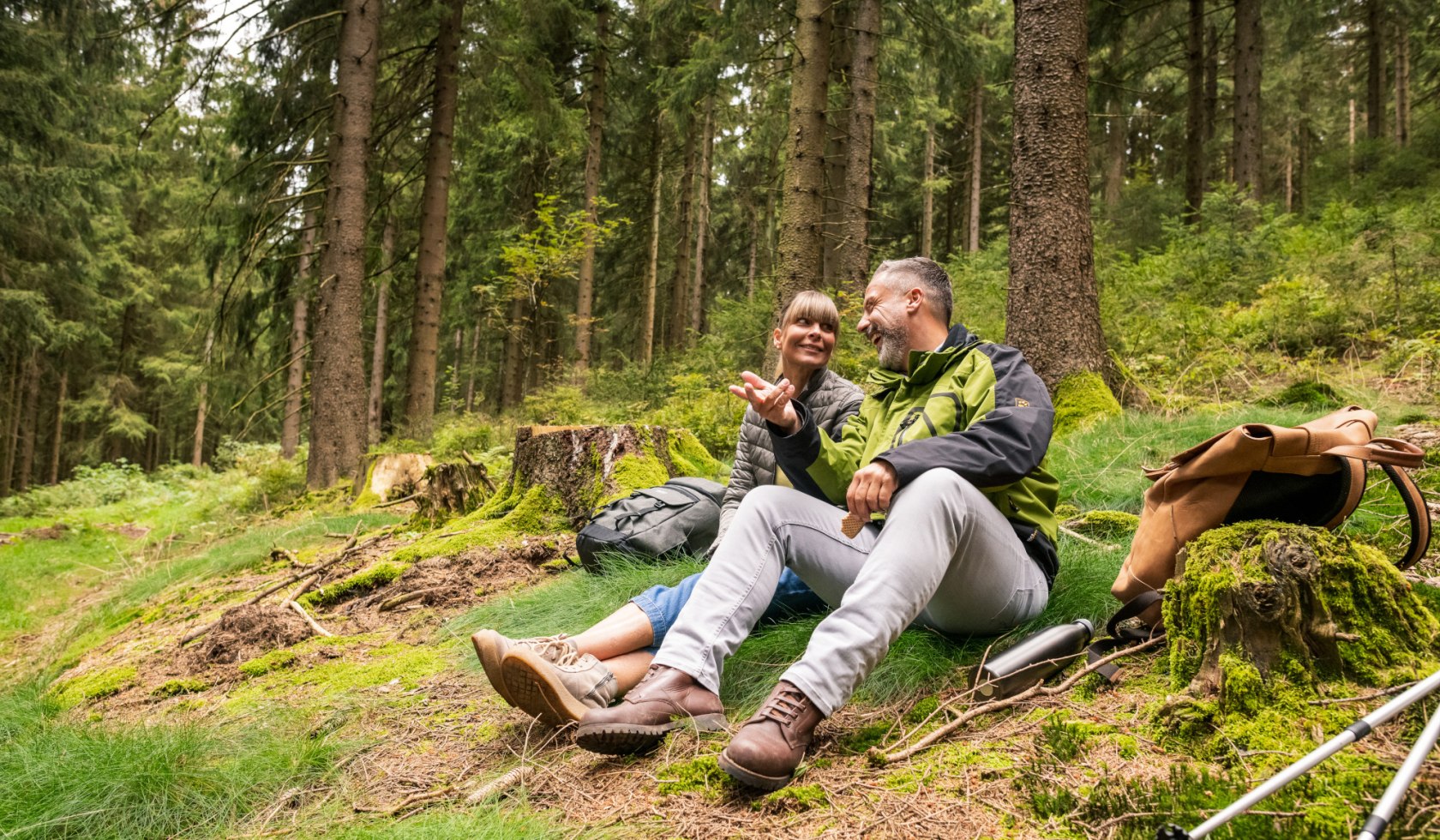
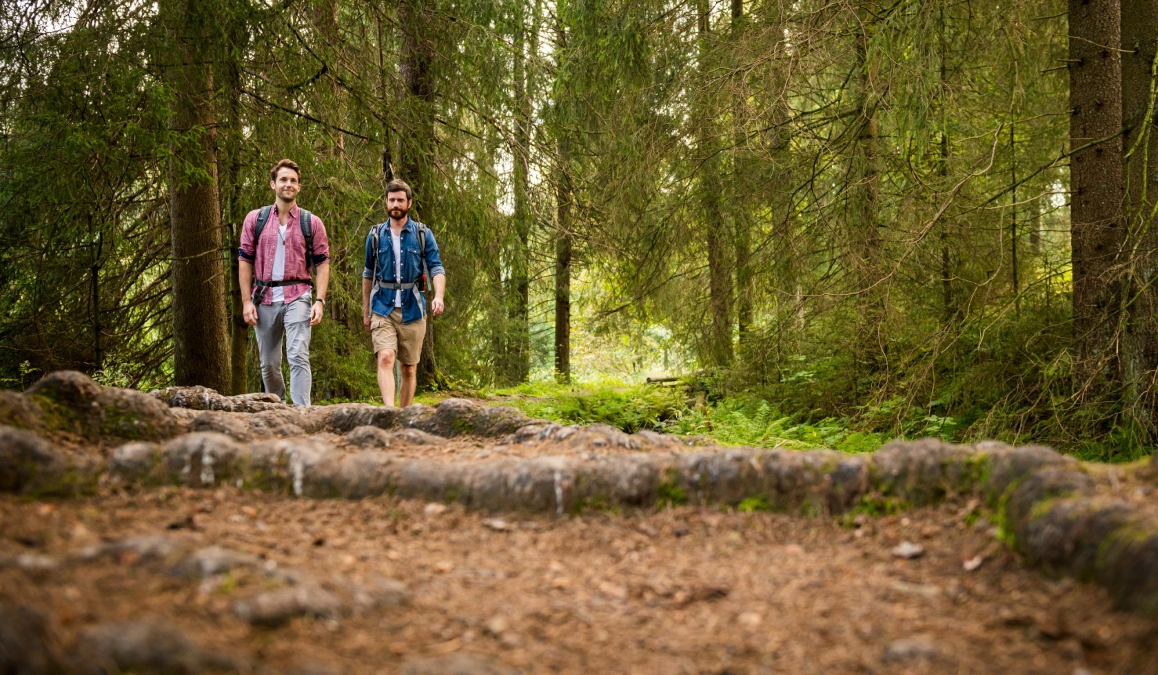
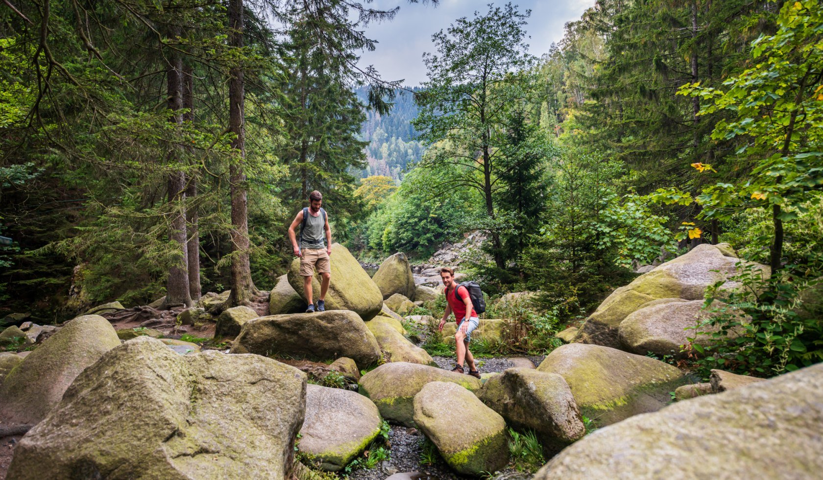
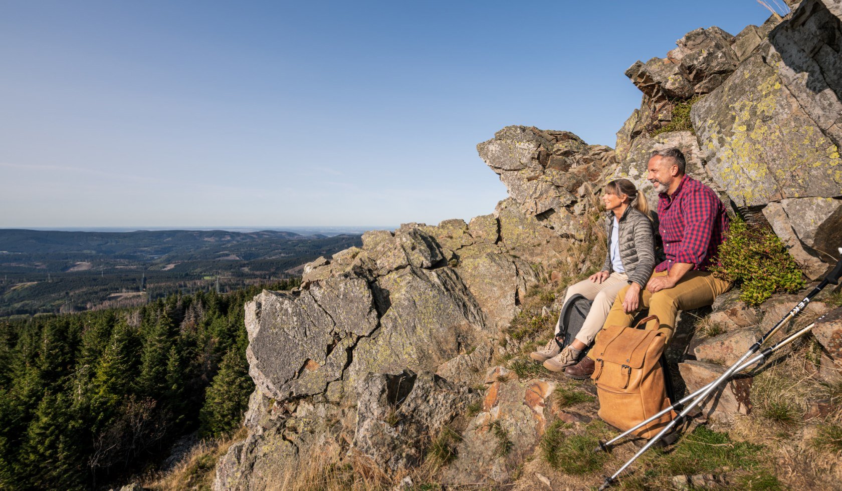
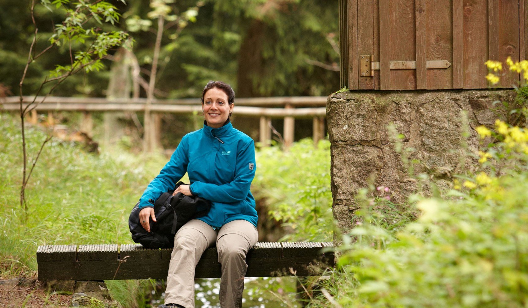
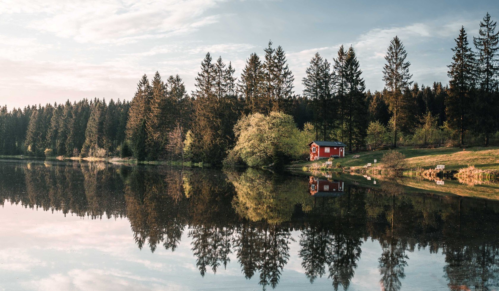
Harz mountains is one of the most popular regions for hiking in Germany – and rightly so. Its well-signposted network of hiking trails, spanning more than 8,000 km, makes Harz mountains a hiker’s paradise. Here you will always find the perfect route, from the challenging Harzer-Hexen-Stieg to the short distance beginner’s tour. The fact that the trails are extremely well signposted has long since been a distinguishing feature of the area. Starting points for hikes are usually smaller towns with historic half-timbered houses such as Goslar, Bad Harzburg or Osterode.
Hiking up and around the Brocken
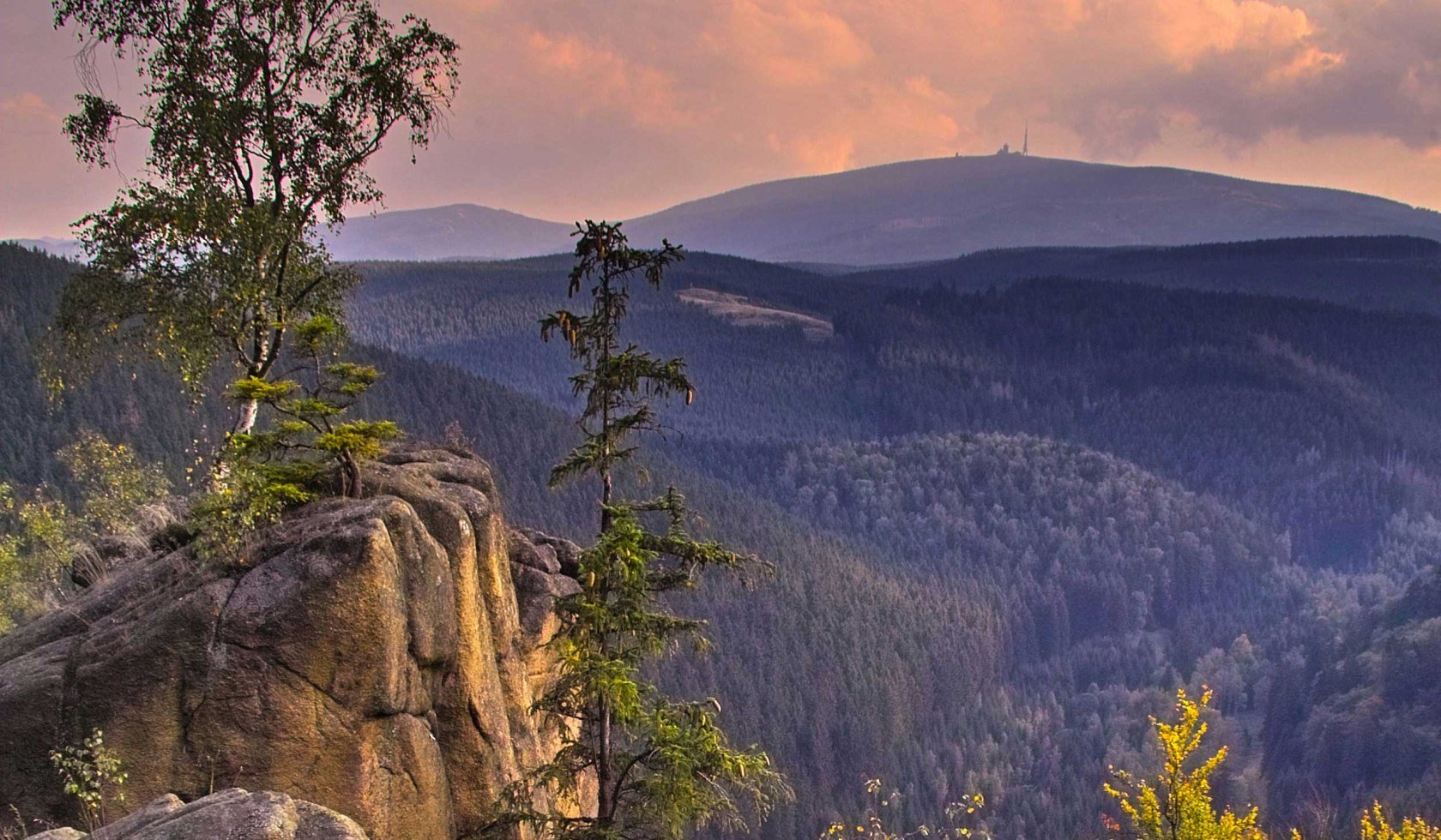
Those who love a challenge should consider the highest elevation in the Harz mountains and northern Germany. At 1,141 metres, the Brocken looms high above the North German Plain. The craggy granite rock, magnificent outlook and harsh climate certainly captivated Goethe and Heine. Several routes lead to the summit, these begin near the village of Torfhaus for example.
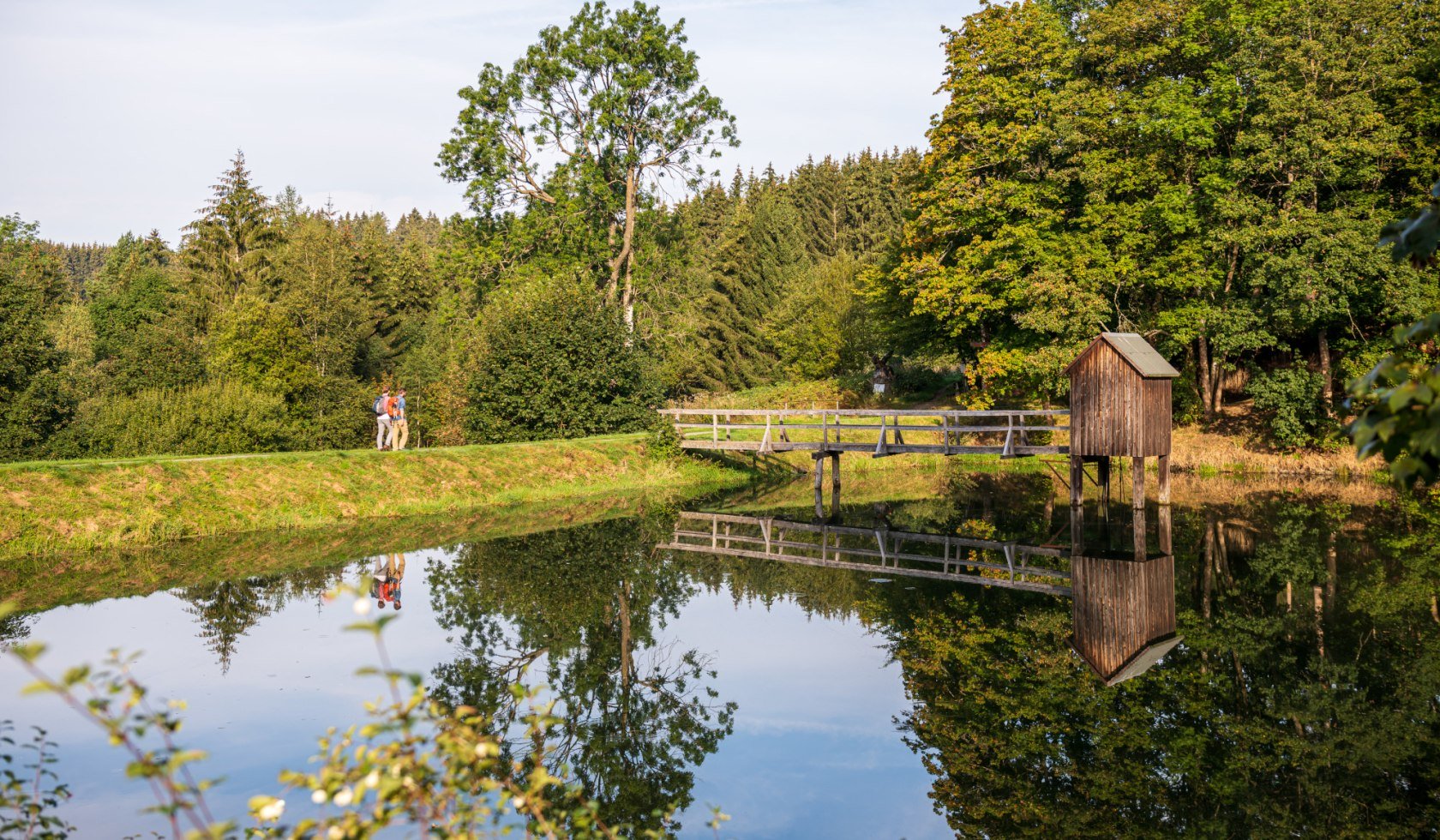
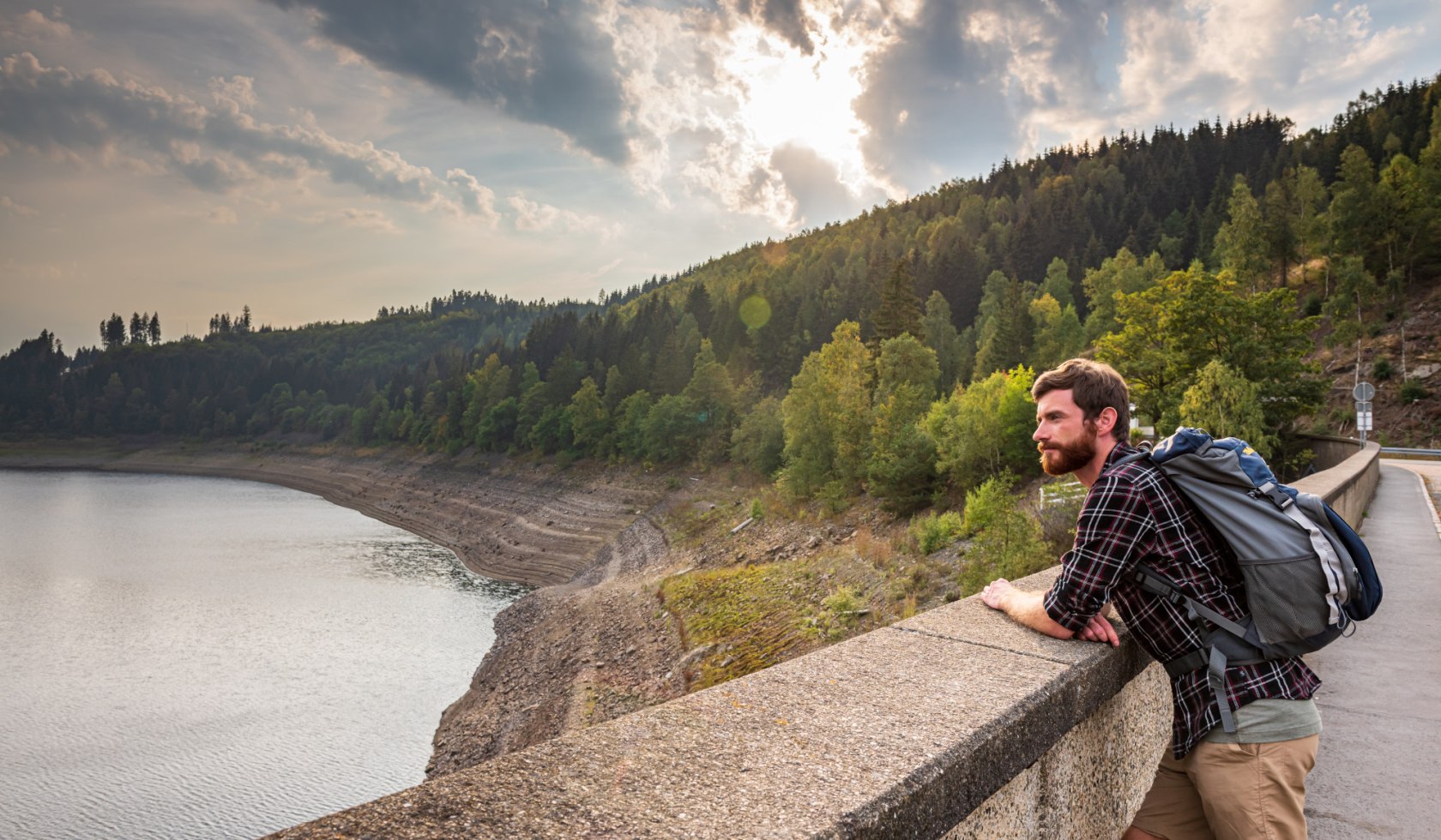
Those setting their sights slightly lower are welcome to explore the slopes along several beautiful hiking trails within the Harz Mountains Nationalpark. Popular destinations include the Okertalsperre (Oker Dam) between Altenau and Goslar or the structures of the Upper Harz Water Management System (Upper Harz Mountains Water Management - a system of dams, reservoirs, ditches and other associated structures).
The Harz mountains walking area has another very special feature: the Harzer Wandernadel (Harz Mountains Walking Badge). There are stamping points distributed along walking routes throughout the Harz mountains region. Anyone with a hiking pass can gradually fill it with stamps. A hiking badge awaits at the end. Bronze to gold hiking badges for adults, and younger hikers can choose between Hiking Princess or Hiking Prince.


