Klötzie-Stieg

29.19 km long
Round trip
Difficulty: difficult
Condition: difficult
Great panorama
Walking / hiking
  • 7:39 h
  • 29.19 km
  • 247 m
  • 247 m
  • 9 m
  • 93 m
  • 84 m
  • Start: At Wolfsschlucht (just before the DJH Youth Hostel), 29456 Hitzacker (Elbe)
  • Destination: At Wolfsschlucht (just before the DJH Youth Hostel), 29456 Hitzacker (Elbe)
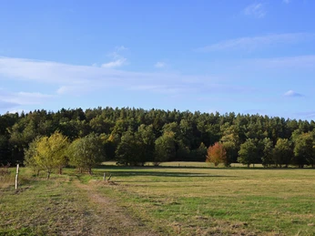
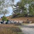
Hardly any more variety - over roots and stones it goes on the Klötzie-Stieg from the Elbe slopes to the fire lilies, past ancient burial sites, through pretty villages and wide forests. 

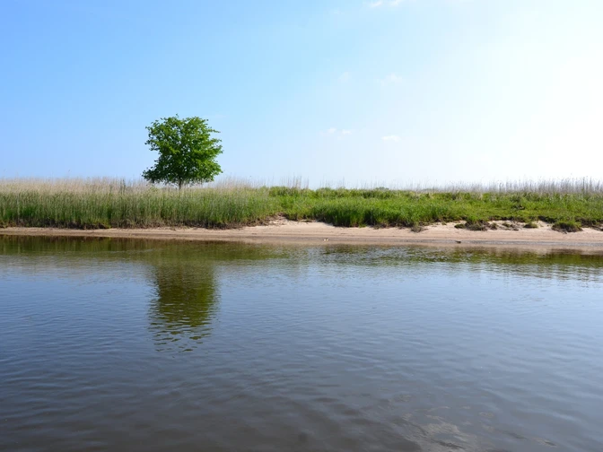
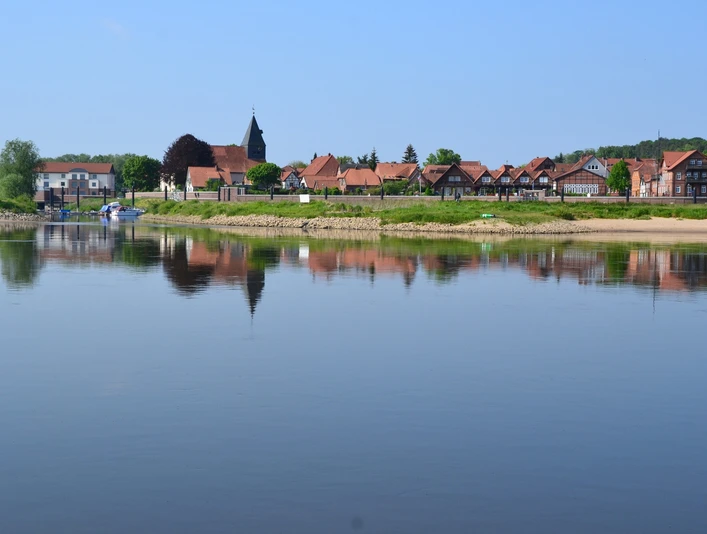
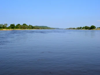
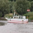
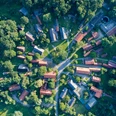
The Klötzie designates the northern area of the ice age moraine landscape of Drawehn, which ends as a steep slope at the Elbe valley floodplain. Between Drethem and the Weinberg in Hitzacker (Elbe), many natural and constructed viewpoints await you! From the Kniepenberg viewing tower, you have a fantastic panoramic view over the Lower Saxony Elbe valley biosphere reserve and the Drawehn ridge. With some inclines, the Klötzie-Stieg winds its way over path-like trails through forests, pretty villages, and along the Elbe through changing natural landscapes. The Govelin field lily path, which blooms particularly colorfully and impressively in summer, and the Leitstadter ancient burial sites mark worthwhile stops. The old fishing village Drethem on the Elbe is also worth seeing with its small church with a copper onion dome. Furthermore, on the Klötzie-Stieg, you pass through the low-lying, flood-affected meadows near Tießau, which offer interesting insights into their animal and plant worlds.

Waypoints

Start
At Wolfsschlucht (just before the DJH Youth Hostel), 29456 Hitzacker (Elbe)
CC-BY-SA | Jenny Raeder, Urlaubsregion Wendland.Elbe
Destination
At Wolfsschlucht (just before the DJH Youth Hostel), 29456 Hitzacker (Elbe)

Good to know

Pavements

Street
Asphalt
Gravel
Trail
Path

Best to visit

suitable
Depends on weather

Directions

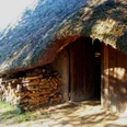
The Klötzie-Stieg starts just before the DJH Youth Hostel, at the Weinberg of Hitzacker. Here you turn left and follow the path towards Harlingen. After a detour through Pussade, continue along Harlinger Straße. At the end of the street, you can turn left. Here the Klötzie-Stieg takes a detour onto the field lily path, which is worthwhile at any time of year for the lily blooms and information boards about the cultural landscape. Back on the Klötzie-Stieg you pass a colorful shelter and a burial mound in the forest. You cross a railway embankment and on the further path encounter one of the particularly striking Leitstadter ancient burial sites. A 50 m long and up to 9 m wide megalithic tomb from the late Stone Age – about 4,500 years old. Continuing towards Wietzetze and Bahrendorf. At the old skipper village Drethem you return to the Elbe. The path takes you through the Elbe floodplains and past the Kniepenberg viewing tower. Over the villages of Tiemesland and Tiessau, it follows the water back to Hitzacker. 

Equipment

Sturdy footwear and a rain jacket are recommended!

Directions & Parking facilities

Drive from Hamburg via the A1 (signposted towards Bremen), A39 (signposted towards Lüneburg) to Lüneburg. There take the B216 (signposted towards B216/Dannenberg/Dahlenburg/Bleckede) to Hitzacker. 

From Berlin, drive via the A10 (signposted towards Hamburg) and continuing on the A24 (also towards Hamburg) and A14 to Ludwigslust. From there follow the B191, then take the K13 and K36 to Hitzacker (Elbe). 

Small parking lot at Wolfsschlucht (just before the DJH Youth Hostel Hitzacker), 29456 Hitzacker (Elbe)

Coordinates:
Geographical: 53.157208, 11.026528
UTM: 32U 635498 5891676

The Lüneburg train station is easily accessible from anywhere by train. 

From Lüneburg, take the RB32 directly to Hitzacker (Elbe). 

License (master data)

Steffen Gebbeken
License: Attribution, ShareAlike

Author´s Tip / Recommendation of the author

The magnificent orange-red blooms of the fire lilies on the Lilienpfad are especially picturesque in July and August. 

Map

Hiking map Wendland

Nearby