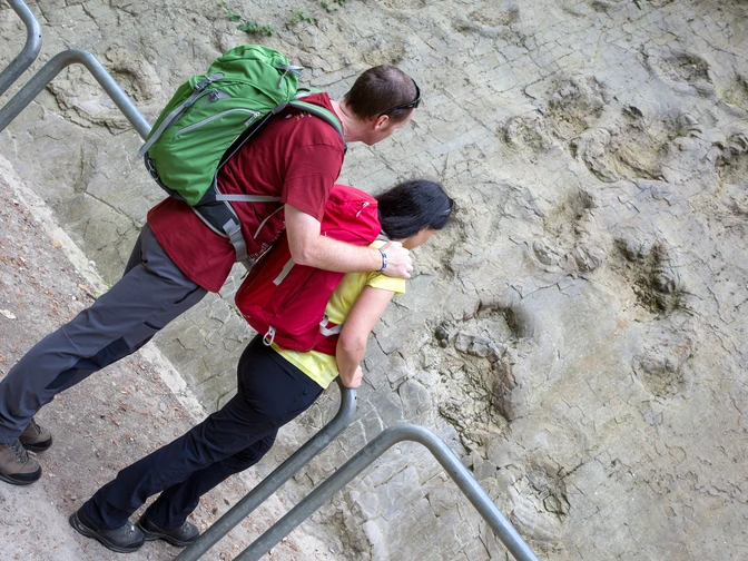
In addition, the Wittekindsweg, with its course along the ridge of the entire Wiehengebirge, traces a geological "main artery" of the UNESCO Global Geopark TERRA.vita.
Starting at the historic market square in Osnabrück, the Wittekindsweg leads through the scenic Nettetal valley to the Mühlenort hiking trail junction in Bramsche-Engter. From here, the trail continues eastwards along the densely wooded ridge of the Wiehengebirge. The end point of the hike is Porta Westfalica, the valley through which the Weser flows into the North German Plain.
The Wittekindsweg is part of the European long-distance hiking trail E 11, which begins near The Hague and connects the Netherlands, Germany and Poland along its 2500 km. It is therefore also a symbol of peaceful international understanding in a Europe that is growing together.
The hiking trail is marked with white and red markings. The markings are usually clearly visible at the respective crossroads, but they can be placed a few meters further along the correct route. Hiking wardens look after the trail markings on a voluntary basis, but it can happen that markings disappear due to weather conditions or vandalism. If you notice a place without clear trail markings, please inform the Wiehengebirgsverband (wgv-weserems@t-online.de).
The division of the trail into (forest) paths (< 1m, unpaved), (forest) trails (1-2 m, unpaved) and forest roads (2-3 m, paved) as well as paved roads also represents a certain quality feature for the individual sections of the Wittekind Trail.
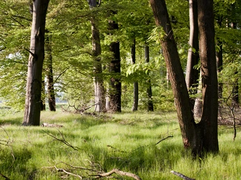
Paths usually meander through the forest in a natural way, while forest paths and roads tend to lead straight through the forest in larger aisles.
Good to know
Best to visit
Additional information
Contact person
Tourismusgesellschaft Osnabrücker Land mbH
License (master data)
Tourismusgesellschaft Osnabrücker Land mbH
Social Media
Nearby
