Landscape exploration route

- 3:15 h
- 48.67 km
- 45 m
- 45 m
- -1 m
- 14 m
- 15 m
Signposted bike and hiking route around Varel
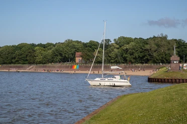
The landscape exploration route Varel – the somewhat different bike(hiking) route. Only here in Dangast and Varel do the various landscape types geest, moor, mudflat, marsh, and forest come together so closely that, according to the National Park House Dangast, it is unique in Germany. At eight stations you will receive information about the individual landscape themes. The special thing about the landscape exploration route is that it was developed and is maintained solely by volunteers.


Good to know
Best to visit
- suitableDepends on weather
Directions
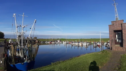
- The circular route leads off the main roads on paved paths along the World Heritage National Park Wadden Sea. The Varel harbor, in addition to some sights like the curiosity museum Spijöök and the smallest pub in the world, also offers a lot in terms of cuisine. From Varel harbor, it continues to the city center.
Equipment
- windproof rain jacket, drinks, sunscreen, head covering/bike helmet
Directions & Parking facilities
- Getting thereIf you want to start in Dangast, take exit "Varel/Bockhorn" on the A29. From there, follow the road for about 6 km to Dangast.ParkingA paid parking option is available in Dangast directly at the beach.
Additional information
More information about the landscape exploration route: https://www.agenda-varel.de/agenda-varel/landschafts-erkundungspfad/
East Friesland cycling information service (rest areas, public toilets, bike repair shops, etc.): https://radapp.grenzenlos-aktiv.de/
License (master data)
Agenda Varel

Map
- Bicycle map with route suggestions in Varel, Dangast, and the surrounding area - available at the tourist info in Dangast
Nearby



Download GPX file