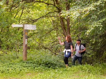
From the starting point, go about 100 m left at the glass tower to the junction of the Heilige Aue. Cross this and go uphill up the Pulverkamp to the Drachenhohl corner. Continue straight ahead into Bocksbergweg, uphill to the Bocksberg hut. We walk to the L 484, where we do not follow the road but rather follow a narrow forest track parallel for about 300 m. Then cross the L 484 on the left side and after 20 m arrive at the forest car park with the Johann Georg von Langen monument. From there, take the unpaved path uphill to the Hilskamm. Follow this path for about 8 km past the Feuerschneisen hut, the Blosse Zelle rest area, past the Raabeturm to the Roter Fuchs guesthouse. Cross the L 484 and at Roter Fuchs take a left onto a gravel forest road. After about 3 km, reach the Marienbuche, then turn left onto Hüttenweg. This path leads downhill straight past Lutherplatz, continuing downhill to Teure Zeit street. Follow this for about 300 m, then turn left and after another 100 m turn left onto Mühlenstraße, which leads into a narrow grassy path. Walk along the Glasebach water to the kindergarten. There turn right onto Polierweg and after about 100 m keep left onto Untere Hilsstraße.
Good to know
Pavements
Best to visit
Equipment
sturdy footwear
Directions & Parking facilities
Additional information
Solling-Vogler-Region in Weserbergland e. V.
Tourism Center
Lindenstr. 8
37603 Holzminden/Neuhaus
T 05536 96097-0
info@solling-vogler-region.de
www.solling-vogler-region.de
License (master data)
Author´s Tip / Recommendation of the author
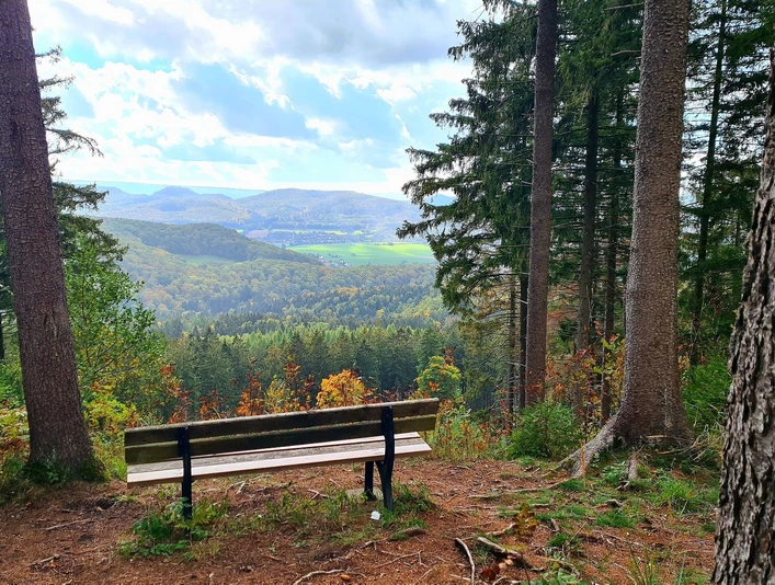
The 15 m high Wilhelm Raabe Tower on the Großer Sohl (472 m) offers a wonderful view into the Hils valley.
Nearby
