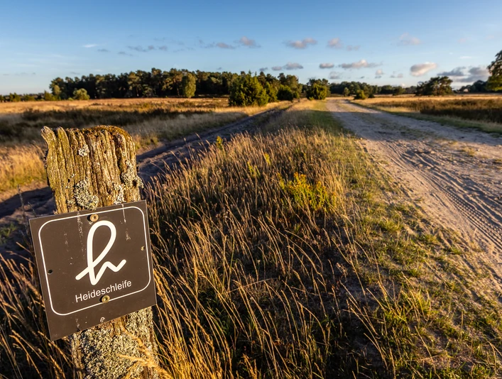
Heideschleife Tütsberg
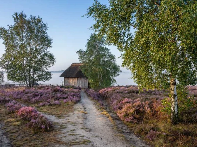
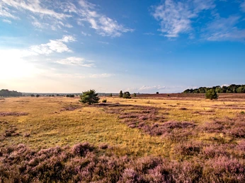
Hike around the headwaters of the Wümme. Wide open heathland and grassland with only a few moderate inclines. Beautiful views of the Wümme bottom. And a high probability of seeing a herd of heather sheep tending to the landscape.An avenue of birch trees leads hikers from the Tütsberg northwards into the foothills of the Osterheide. Black and white birch bark, the branches bend with the wind. Scattered boulders. Wide open country. To the right, the heathland slopes towards the Wümme bottom. You walk through the car-free nature reserve.
The forest draws closer. At the edge of the forest, the hiking trail becomes narrower, two footpaths. Grass, heather bushes, birch trees. A short detour to the viewpoint in the Oberer Wümmegrund. Pause for a moment. Enjoy the silence.
Continue along the edge of the forest. Then a winding path to the right, downhill into a small valley floor. Loose trees. Oaks, birches. Heather bushes. One or two junipers. And then up onto the Wümmeberg. There is a bench between juniper bushes and oaks. A view of a fascinating natural landscape. The headwaters of the Wümme. The Wümme is barely visible. Strictly protected nature that may not be entered. On the other side of the valley is the Alfred-Toepfer-Blick on the Suhorn.
The hiking trail leads along the edge of the Wümme bed and down to the Wümme bridge. There it is, the Wümme. Still small. A narrow stream on heather sand. At the beginning of its 118-kilometer journey to the Weser. At the bridge, the Haverbeeke flows into the Wümme, bringing with it a greeting from Wilseder Berg.
Back we go on the other side of the Wümmegrund. Short ascent to the Alfred-Toepfer-Blick. Changed perspective of the Wümmegrund. Opposite is the Wümmeberg. The hiking trail then follows a narrow ridge between Haverbeeke and Wümme to the Oberhaverbeck parking lot. Before that, it winds its way through an overgrown and overgrown oak and juniper forest.
On the way back to the Tütsberg, the Tütsberg heath loop crosses a large depression. This is where the headwaters of the Wümme and Brunau rivers meet. The Wümme flows to the Weser, the Brunau via the Luhe into the Elbe. Scattered small woodlands have settled in the shelter of the depression.
The heather loop reaches the Tütsberg farm with a beautiful view of the source of the Brunau. Finish with an aromatic heather coffee and a slice of buckwheat cake. A beautiful day of hiking.
Facts about the hiking trail
Length of the hiking trail: 11.9 kmDuration: 3 hours
Starting point for the hiking trail
As the trail is a circular hiking trail, you can start from several points. We describe the starting points with the best parking options:
Entrance 1 to the Heideschleife Tütsberg
Starting point: Tütsberg parking lot. The parking lot is directly opposite the Hotel Hof Tütsberg
Parking: Parking lot Tütsberg, 29640 Schneverdingen
Navi address: Hotel Hof Tütsberg, 29640 Schneverdingen
Entrance 2 to the Heideschleife Tütsberg
Starting point: Parking lot in Bispingen-Oberhaverbeck. The trail starts just behind the parking lot, turn from the parking lot towards Heide.
Parking: chargeable at the Oberhaverbeck parking lot
Navi address: Oberhaverbeck - Bispingen
Transport connection: free Heide shuttle from 15. July to October 15
Accommodations & restaurants along the hiking trail
max. 2 km away. Click on the name for more information
You can find a detailed list of restaurants and accommodation in the downloadable PDF "Accommodation and restaurants" at the bottom of this page.
Good to know
Best to visit
License (master data)
Lüneburger Heide GmbH
Nearby


