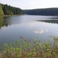
Over the course of millennia, the gypsum karst landscape of the South Harz has created a region whose geological wealth and biological diversity represent a unique natural area in Europe. The gypsum-rich area extends across the districts of Osterode am Harz (Lower Saxony), Nordhausen (Thuringia), and Mansfeld-Südharz (Saxony-Anhalt). Along the axis from Pölsfeld to Bad Grund, this impressive region can be particularly experienced on the South Harz Karst Hiking Trail.
Good to know
Pavements
Best to visit
Directions
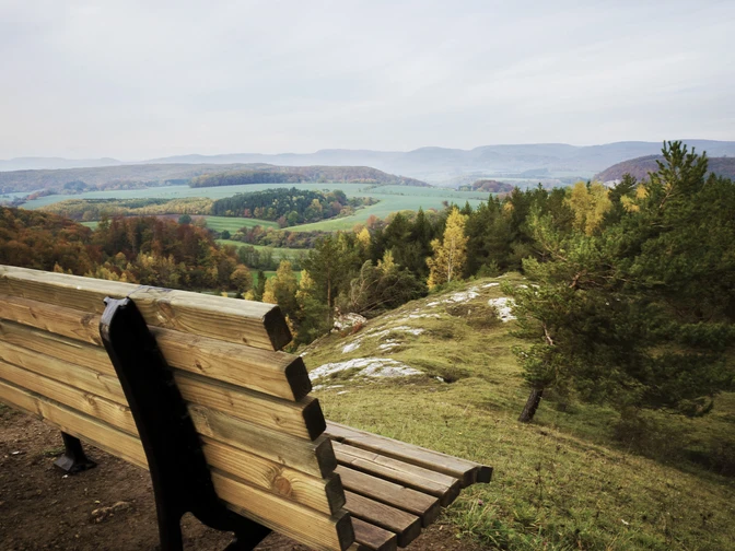
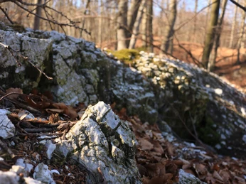
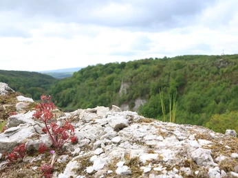
The South Harz Karst Hiking Trail is one of the longest and most varied hiking trails in Germany. Characteristic of this area is the constant change from close-up observations in the light deciduous forest to the magnificent wide views over the South Harz foreland. Easy stretches in valley areas alternate with sections that lead over heights. In addition to the diverse karst features such as sinkholes, disappearing streams, karst springs, and the characteristic white rocks, there is a remarkable variety of animal and plant life to discover. Unlike other long-distance hiking trails, nature lovers on the Karst Hiking Trail are never hours away from the next overnight accommodations or gastronomic facilities. Established as a landscape-related, tourist hiking trail but also as an interdisciplinary, thematic educational path, the Karst Hiking Trail was developed from 1982 to 1995 in the districts of Osterode, Nordhausen, and Sangerhausen (today Mansfeld-Südharz). It runs on agricultural and forestry roads as well as hiking trails and paths, which are lined with a total of 200 signs. These provide interesting information about natural monuments and protected areas.
Geologically conditioned, two hiking trails run parallel to each other for a total length of 144 kilometers in the Osterode district, making exciting circular hikes and bike tours possible. The Karst Hiking Trail with all its routes has been newly marked in recent years with nearly 1,000 trail signs and 4,000 trail marks, so no hiker will ever get lost here.
Here you will find the route description with the southern variant through the Göttingen district.
Additional information
Sunday tours led by expert guides along the Karst Hiking Trail lead to some highlights of the region and are also suitable for families with children. From February to November, a total of 40 afternoon tours visit the scenic and natural beauties of the South Harz in the districts of Osterode, Nordhausen, Mansfeld-Südharz, and the Kyffhäuser district. The tours are organized by the Karst Hiking Trail working group. Further information and GPS tracks are available online at www.karstwanderweg.de.
License (master data)
Map
The Harz in 4 parts hiking and cycling maps Upper Harz, Central Harz, East Harz, South Harz scale 1 : 30,000, UTM grid for GPS, contour lines in 20m intervals, subtle shading, Harz Club hiking trails, signposted cycling routes, MTB and cycling recommendations plastic cover, size 115 x 205 mm ISBN 978-3-936185-76-8 price: €14.80 East Harz - hiking and cycling map scale 1 : 30,000, UTM grid for GPS, contour lines in 20m intervals, Harz Club hiking trails, signposted cycling routes, MTB and cycling recommendations size 110 x 200 mm, 990 x 600 mm (open) ISBN 978-3-936185-74-4 price: €4.00 - and - The South Harz - hiking and cycling map scale 1 : 30,000, UTM grid for GPS, contour lines in 20m intervals, Harz Club hiking trails, signposted cycling routes, MTB and cycling recommendations size 110 x 200 mm, 990 x 600 mm (open) ISBN 978-3-936185-75-1 price: €4.00
Nearby
