- 1:25 h
- 3.60 km
- 15 m
- 20 m
- 80 m
- 107 m
- 27 m
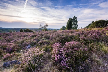
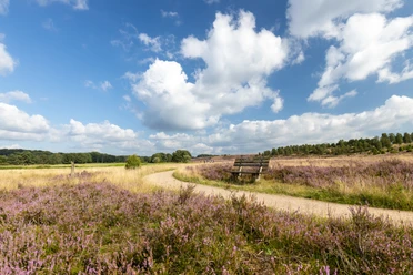
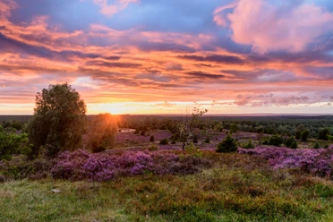
The small and clear Haverbeeke stream flows through the lower Heath Valley. Here you can experience the full diversity of the heathland: meadows to the left and right of the stream and a small forest with old oak trees. Burial mounds are hidden beneath the inconspicuous hilltops in the heathland.
Now NEW: Heath action on the Haverbeeke heathland loop
Do you fancy exciting puzzles, fun challenges and interesting information on your hike? You can experience this for free with our smartphone rally. It's that easy:
Now NEW: Heath action on the Haverbeeke heathland loop
Do you fancy exciting puzzles, fun challenges and interesting information on your hike? You can experience this for free with our smartphone rally. It's that easy:
Download the Actionbound app free of charge onto your cell phone
Scan the QR code
Simply take part!
You can find more information here.

Best to visit
- suitableDepends on weather
Directions
- The Haverbeeke heath loop begins at the Menke inn. The path winds through the heath in large bends down to the Haverbeeke. Burial mounds are hidden beneath the inconspicuous hilltops in the heath.The Haverbeeke. A typical heath stream in an exceptionally beautiful heath valley. The sand shines brightly beneath the clear water. A few alders and pines line the course. Meadows to the left and right of the stream, which turn into heath at the start of the slope. Coming from the Wilseder Berg, the Haverbeeke has formed the Heidetal valley over thousands of years. On the last kilometer, the stream flows in a few bends towards the Wümme.
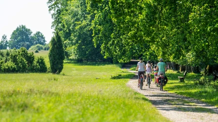
The path is easy to walk on. Fine gravel. Also suitable for walkers and wheelchairs. The Heideschleife crosses the Haverbeeke, which has formed a slightly marshy terrain here on the last, very flat meters before the Wümme.
On the other side of the valley, the trail now climbs back up to Niederhaverbeck, right next to the old connecting path to Schneverdingen. Below the Haverbeckhof lies the Haverbeeke pond, surrounded by trees. Take a breather on one of the benches. Cross the bridge and then through the small forest with old oak trees. At an acute angle, the path branches off upwards and leads in a wide arc up to the starting point.Directions & Parking facilities
Getting thereStart: Parking lot Gasthaus Menke, NiederhaverbeckParkingFor people with disabilities: Parking lot Gasthaus Menke, Niederhaver-
beck 12 and Landhaus Haverbeckhof, Niederhaverbeck 2, 29646 Bispingen;
For all others: Hikers' parking lot Niederhaverbeck, 29646 BispingenPublic transportationNiederhaverbeck und Bispingen: Buslinie 156 (Schneverdingen Bahnhof - Niederhaverbeck
- Bispingen), Heide-Shuttle vom 03. Juli bis 03. OktoberAdditional information
Charakteristik: flacher, nahezu barrierefreier Weg. Geeignet für Rollator und Rollstuhl.
Aufgrund der Steigungen am Beginn und Ende (ca. 6 %) wird Begleitung für Rollstuhlfahrer empfohlenLicense (master data)
Bispingen Touristik e.V.