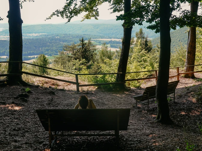
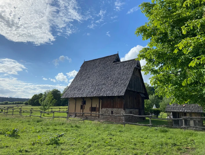
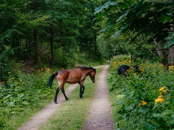
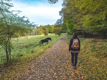
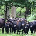
The starting point of the Archotrail is the hiking parking lot below Nienover Castle. From here, follow the paved Schinkeltriftstraße uphill towards the medieval house. From there, take a winding gravel path down into the Reiherbachtal, where, with some luck, you can observe partly freely roaming Exmoor ponies and Heck cattle. After about 3.2 kilometers through the Reiherbachtal, you cross the B 241 road. In an area of open meadows with beautiful panoramic views, you pass the small forest settlement of Winnefeld before continuing on gravel and natural paths through the vast forests of the Solling, parallel but at some distance to the B 241. After crossing it again, you can enjoy an impressive view of the Weser valley from the Weser Skywalk on your further way. On a steep, narrow path, you descend to Bad Karlshafen and then climb just as steeply again towards Sonreyhöhe. From here, you have another great view into the distance, as do you a few kilometers away at Lug ins Land. The last kilometers lead continuously downhill through dense forest, past the Hutewald Solling to the Carolinenteich and back to the starting point.
Please note that dogs are NOT allowed in the Hutewald for safety reasons.
Good to know
Best to visit
Directions
The starting point of the Archotrail is the hiking parking lot below Nienover Castle. Follow the paved Schinkeltriftstraße uphill towards the medieval house. At the top, turn left, walk along the medieval house, and continue on a winding gravel path downhill into the Reiherbachtal. On the left side there is a meadow with a generously laid out rest area at the Carolinenteich.
The Archotrail leads straight ahead over the intersection onto a narrow path into the forest. From here, it runs parallel to the Weserbergland trail. After about 300 m, you leave the dense forest and continue left on a gravel path through the Reiherbachtal. On the right side there is now a display enclosure, where, with some luck, you can observe Heck cattle and Exmoor ponies.
Keep going straight through the Reiherbachtal. After about 600 m, the Weserbergland trail branches off to the left, while the Archotrail continues straight ahead along the valley floor through a pasture landscape where you can meet freely roaming Exmoor ponies or Heck cattle. After a total of 3.2 kilometers through the Reiherbachtal, you reach the federal highway B 241. On the left is the impressive Winnefeld church ruin.
After crossing the B 241, continue straight ahead until you reach the small forest settlement of Winnefeld, where you have a beautiful view of green meadows and the gently rolling hills of the Solling. You cross a small forest road, pass a forest parking lot, and continue straight ahead, alternating between natural and gravel paths.
About 1 km after passing Winnefeld, you reach another parking option located next to the B 241. For some time, you will notice the federal highway running parallel to the hiking path on the left side, until you gradually move away from it while going downhill and continuing straight ahead. After a 1.4 km downhill march, the Archotrail turns left into the denser forest.
On narrow paths, the trail now partly leads steeply uphill. After about 500 m, you cross the B 241 again to then follow a slightly downhill and uphill gravel path for about 1.7 km. You then cross a narrow asphalted forest road and continue for almost 1.2 km on winding paths along a barrow through the forest near Brüggefeld until you reach a forest parking lot at the Forellenhof.
At Forellenhof, you turn left into the forest again, where you move parallel to the somewhat distant forest edge, again on natural paths. After just under 700 m, turn right onto a gravel path and follow it straight ahead until you reach a hiking parking lot at the forest edge after about 300 m. A path branching left into the forest soon leads you to another forest parking lot near the Weser Skywalk. From this parking lot, you have the option to take a detour to the Weser Skywalk, from whose viewing platform you have a magnificent view of the Weser and the Weser valley. For this detour, you should calculate about 700 m in total.
On a relatively demanding and winding downhill path, the Archotrail leads downhill towards Bad Karlshafen and the Weser. Before reaching the railway crossing, turn left and walk on the street "Vor den Klippen" through a residential area of Bad Karlshafen. After about 800 m, turn left into "Winnefelder Straße," which leads slightly uphill. 150 m further, turn right, and after 100 m go left onto a natural path. For several kilometers, the Archotrail now runs again together with the Weserbergland trail on the same route.
The natural hiking trail leads steeply uphill towards Sohnreyhöhe, from where, after a climb of almost 700 m, you have a great view and also some seating and reclining options. Continue for about 700 m on a natural path until you reach a gravel path, which you follow left for about 300 m.
Then turn right into the forest onto another natural path. After about 800 m, the trail bends to the right. Going slowly downhill, after just over 200 m you reach a gravel path, which you follow to the right until the next intersection. Here, turn sharply left and continue straight ahead on the gravel path towards Lug ins Land. You reach the great viewpoint with a rest area after about 1,400 m. Note that the viewpoint and rest area lie about 50 to 100 m off the path.
After passing Lug ins Land, follow the gravel path for another 500 m straight ahead. Then the Archotrail turns left onto a natural path, still running parallel to the Weserbergland trail. After about 350 m, the hiking trail bends to the right. For another 2,700 m, continue straight ahead on a natural path, first on flat terrain and then downhill. On your downhill way, you cross three wider gravel paths.
At the third gravel path crossing, the Weserbergland trail branches off to the left through a gate in the fence into the Hutewald Solling project area. There is also a seating option at this junction. The Archotrail continues straight ahead, further downhill parallel to the fence until you reach a gravel path intersection. Turn left here, now again parallel to the Weserbergland trail.
On your left, you will see the Carolinenteich again, with the Reiherbach flowing on the right. After 500 m on the gravel path, you arrive at your starting point at the parking lot below Nienover Castle.
Additional information
Solling-Vogler Region in the Weserbergland e. V.
Lindenstraße 8
37603 Holzminden-Neuhaus
Tel. 05536 96097-0
License (master data)
Author´s Tip / Recommendation of the author
A detour to the Weser Skywalk is worthwhile: from the viewing platform, you have a magnificent view of the Weser and the Weser valley. You should plan about 700 m for this detour.
Map
You can order our hiking map and guidebook here:
With the "Wilde Heimat" hiking map in hand, you can excellently explore Lower Saxony's first quality hiking region, Germany's Wanderbares Deutschland, the Solling-Vogler region. Nothing now stands in the way of a relaxing hiking vacation. 16 quality routes, various habitat routes, and numerous local trails invite you to discover the most beautiful corners of the Wilde Heimat! Scale 1:45,000
27 hiking routes in the quality region Wanderbares Deutschland Solling-Vogler
by Birgit Czppull and Jörg Mitzkat (photography) Book, paperback, 224 pages, German, Jörg Mitzkat publishing (published on 11.05.2022) This region is to be discovered: the forested valleys and heights of Solling and Vogler in the middle of the Weserbergland offer wonderful natural beauties, fascinating cultural landscape elements, and exciting historical testimonies away from the major tourist flows. The Wilde Heimat can be explored along very beautiful paths and often natural trails. The Solling-Vogler region has selected 27 hiking routes, of which 16 have been designated as "Qualitätstouren Wanderbares Deutschland" (quality routes Wanderbares Deutschland). Author Birgit Czyppull describes these trails with great expertise and a very personal perspective, sometimes also critical and sensitizing to the small things. Reading this hiking guide, illustrated with numerous photos, should inspire you to get out, explore the nature and culture of the landscape, and possibly end up discovering yourself. Because hiking—especially on attractively remote paths—is always also a path to self-discovery.
Nearby
