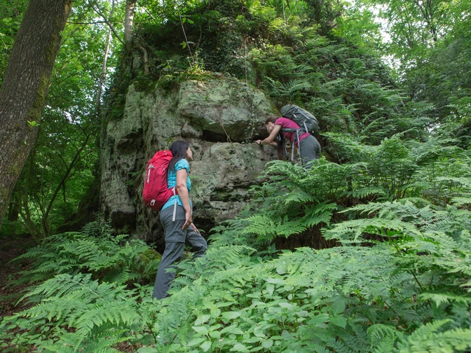
If you follow the sign of the distinctive jagged maple leaf, you will discover traces of the earth's history, rare orchids in species-rich beech forests and other highlights of the TERRA.vita Nature and Geopark.
You can also experience the rich history of the region south of the City of the Peace of Westphalia in historic locations. And last but not least: do something good for yourself in our spa towns of Bad Rothenfelde, Bad Iburg and Bad Laer. The Ahornweg is one of the oldest and most popular hiking trails in the Osnabrück region. Hiking enthusiasts who knew the region like the back of their hand developed the route around 50 years ago.
One path, five towers, countless views
They paid particular attention to enjoying the landscape: five observation towersand numerous other high points open up ever new views of impressive panoramas. From the "Hermannsturm" on the Dörenberg, for example, the highest point of the trail at 331 meters, you can look out over the ridges of the Teutoburg Forest, which stretch far into the North German Plain and surround the Münsterland Bay. From the "Varusturm", on the other hand, three delightful kilometers away along a ridge path, you can look in the other direction towards Georgsmarienhütte, Osnabrück and - on a clear day - the Wiehengebirge mountains in the far distance beyond.
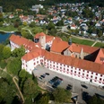
The two towers are neighbors of the Iburg, an almost 1,000-year-old hilltop castle that was converted into the magnificent residence of the Osnabrück prince-bishops during the Baroque period. It towers high above Bad Iburg, the hub of the 100-kilometre-long figure-eight loop that the Ahornweg describes on the hiking map.
Flowering magic on the forest floor and in orchards
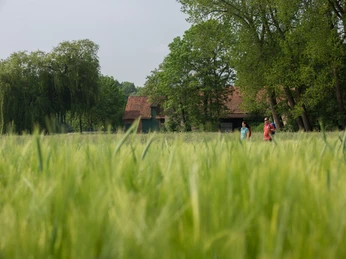
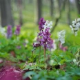
The smaller, around 40-kilometre-long loop runs mainly along the ridges of the Teutoburg Forest through deep beech forests, which are full of woodruff, wood anemones, larkspur and countless other spring bloomers from March onwards. In Hagen a.T.W., you can experience the blossoming of more than 3,000 sweet cherry trees from mid-April, some of which grow in meadow orchards, others as ancient solitary trees on farms. The harvest and snacking season lasts from the end of May until August.
The longer tour takes you to the plain and to Melle, to the source of the Hase river, and to the lovely hilly landscape of Borgloher Schweiz. In Bad Laer and Bad Rothenfelde, you can enjoy one of the exciting chapters in the history of the earth told by the TERRA.vita Nature Park: The brine that trickles over the graduation towers of the two spas is a remnant of the ocean that broke against the cliffs of the Teutoburg Forest millions of years ago. Other traces can be found in many places along the way - such as shells of primeval sea creatures in the limestone of the mountain ridges. But don't look too long - otherwise you'll miss the next magical panorama.
Good to know
Best to visit
suitable
Depends on weather
Contact person
Tourismusgesellschaft Osnabrücker Land mbH
Herrenteichsstr. 17+18
49074 Osnabrück
License (master data)
Tourismusgesellschaft Osnabrücker Land mbH
Social Media
Nearby
