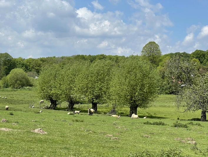
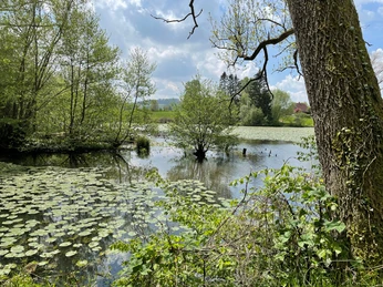
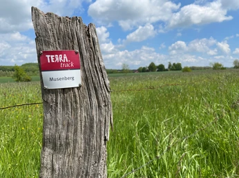
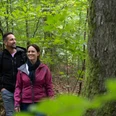
This hiking trail combines secluded forest areas around the Musenberg and Vossbrink with an idyllic field atmosphere along the Schlochterbach. Nevertheless, climbing the Musenberg, which is 256 m above sea level, requires a good dose of calf strength. The districts of Oesede and Kloster Oesede are each connected to the TERRA.track "Musenberg" via an access path. The supra-local Ahornweg also runs parallel in parts, making it easy to continue hiking to Bad Iburg, for example.
A detailed description can be found in the TERRA.vita Nature and Geopark tour planner.
A detailed description can be found in the TERRA.vita Nature and Geopark tour planner.
Good to know
Best to visit
suitable
Depends on weather
Contact person
Natur- und Geopark TERRA.vita
Am Schölerberg 1
49082 Osnabrück
License (master data)
Tourismusgesellschaft Osnabrücker Land mbH
Nearby


