Good to know
Pavements
Best to visit
Directions
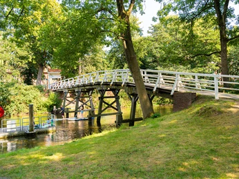
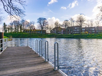
The starting point of our walk is the tourist information office at Hansestraße 16. We make our way towards the fish market and walk along "Wasser West" to the corner of "Kehdinger Str.". Here we turn right and follow the road to the Kaufland shopping center, where we cross the main road and continue along Parkstr. At the end, we keep right and after a short distance turn left into "Marschdamm". We come to "Glückstädter Str.", which we also cross and take the path opposite into the Schölischer Wiesen. A beautiful route initially leads us along a stream to the wooden bridge, which we leave to the right and follow the path through the left-hand bend and continue to the right at the next fork. The meadow path ends with a bridge over the stream and leads us around to the right along the stream towards the fire pond, which invites us to take a short break.
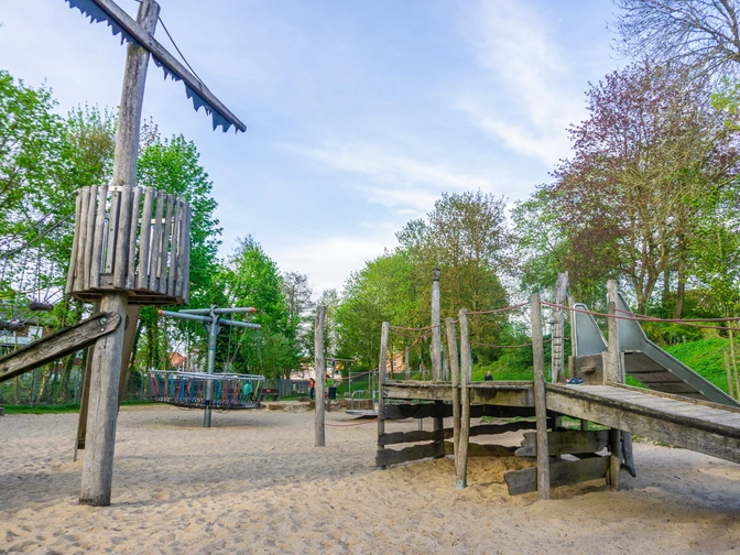
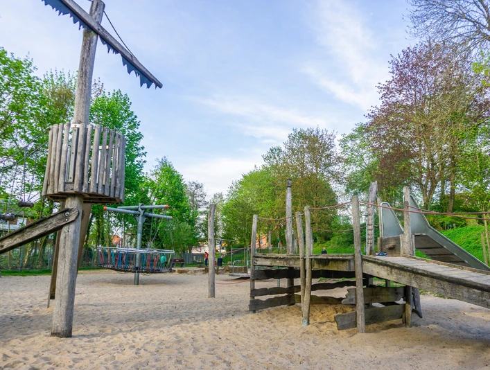
We continue our walk by following a narrow path directly to the right of the pond, which leads us along the residential area to the entrance of the Geestberg cemetery. Before the entrance gate to the cemetery, we turn right and walk along the edge of the cemetery until we keep right at the next junction and reach the "Marderstieg", which has a small playground for children on our left. Two detours to the right take us to the "Krähenkoppel", at the end of which we find another, this time larger, playground.
The steps lead us up to "Iltisweg", from where we turn left at the next junction into "Rehwiese". Continuing straight ahead, we reach the "Bockhorster Weg", turn left and walk directly towards the Hohenwedeler Wald forest. We walk along the main path directly through the forest, past another playground. The forest exit is right next to the Hohenwedel school playground. We follow the path down to "Bremervörder Str.", cross it and continue downhill along the road "Bei den Fischteichen" to the railroad underpass. Passing under the tracks, we take the next turn-off to the left into "Dietrich-Speckmann-Weg" and again have a beautiful view of the meadows along the railroad embankment. After approx. 400m, we reach another beautiful playground on the right-hand side.
We continue under the railroad again, turn right over the bridge and left into the "Synold-Klein-Weg", which takes us to the adventure playground on Erleninsel. We keep right along the Burggraben, past the Al Porto restaurant and take a small staircase diagonally opposite, which leads us past the local history museum to the Wallstr./Inselstr./Neubourgstr. junction. Up "Inselstr." we reach the horse market. We keep left and continue along the pedestrian zone "Sattelmacherstr.- Hökerstr.". The fish market lies ahead of us and invites you to enjoy culinary delights. Following "Wasser West", we return to our starting point at the tourist information center.Note: If you want to discover another playground in the city center, take a detour to the right directly behind the town hall in "Hökerstr." and reach the Cosmae-Kirchhof crossroads, which you follow to the left until you reach the intersection. Turn right at "Beim St. Johanniskloster" and you will find the last playground of the entire loop. The path then leads back towards the church, turn right into the continuation of the street "Beim Johanniskloster" and turn left at the next junction into "Salzstr.". This extends to the fish market, via which you reach the starting point as described above.Directions & Parking facilities
License (master data)
Author´s Tip / Recommendation of the author
The tour is not signposted, please follow the tour description.
Nearby
