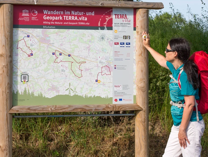
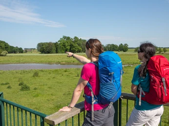
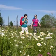
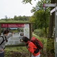
The 6-kilometer TERRA.track leads along the educational site of the bifurcation on the River Hase. Numerous information boards and interactive stations illustrate the topic of bifurcation. You will also hike through the beautiful center of Gesmold and through the magnificent floodplain landscape of the Else and Uhle rivers.
A detailed description can be found in the TERRA.vita Nature and Geopark tour planner .
A detailed description can be found in the TERRA.vita Nature and Geopark tour planner .
Good to know
Best to visit
suitable
Depends on weather
Contact person
Natur- und Geopark TERRA.vita
Am Schölerberg 1
49082 Osnabrück
License (master data)
Tourismusgesellschaft Osnabrücker Land mbH
Nearby


